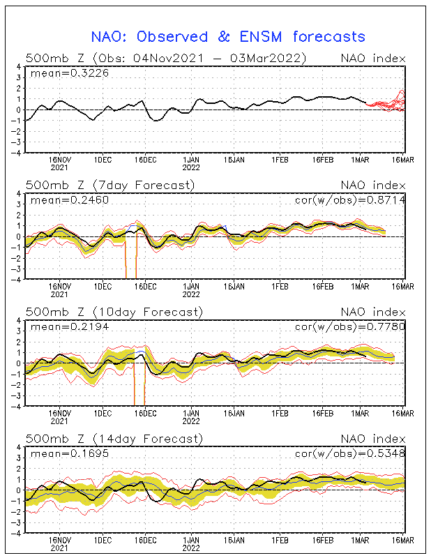
Definition of NAO
The North Atlantic oscillation (NAO) is a climatic phenomenon in the North Atlantic Ocean of fluctuations in the difference of atmospheric pressure at sea level between the Icelandic low and the Azores high~from Wikipedia: read more about NAO at http://en.wikipedia.org/wiki/North_Atlantic_oscillation
What is a Positive NAO?
This is when much of the east coast gets warmer than normal temperatures. The west coast gets below normal temperatures. If you didn't notice, this is what has been giving the east coast hardly any winter. Except the rare snowstrom in October, the Northeast hasn't seen any big snow events. Some areas in the Southwest have seen more snow than areas in the Northeast. Weirdly enough, areas like northern Texas have been hammered with snow. You can also say that the west has had a pretty cold winter so far this year. Only 25.7% of the United States is covered in snow right now, while this time last year, while 48.0% of the United States was covered in snow last year, what the negative NAO was persistent.
 |
| Current Snow Depth |
 |
| Snow Depth This Time Last Year |
 |
| A Positive NAO |
What is a Negative NAO?
A negative NAO is when much of the east coast gets below normal temperatures. The west coast usually gets milder than normal temperatures. This pretty much could cancel out the effects of the La Nina pattern (just as it did last year). Last year was a year of records being set. Areas like NYC got feet of snowfall, starting the end of December (from the same snowstorm that gave many areas in the Southeast a very rare white Christmas). Schools in NYC were closed two days, while schools are rarly closed there. The negative NAO would pretty much switch our weather with the west coast.
 |
| A Negative NAO |
Is The NAO Expected to Go Down?
Yes, the NAO is expected to go down, possibily going negative as early as ealry January. This is why I am sticking with my forecast that the Southeast will be cold this year. As you can see, a good 4+ models have the NAO going negative by the 2nd of January. This will switch around our weather, giving the east coast, including the Southeast some persistent cold air. Many areas in the Southeast will there first snow. Many people are already giving up on winter, but you don't have to. What must come up, must go down. It is an uncertainty how long the NAO will stay negative.

Scenario #1
Scenario #1 is that the NAO stays negative persistently. This might cause a similar winter as last year, giving the Midwest, Northeast, and Southeast several chances for snow, since we would be in a cold air just sticking around for a while.
Scenario #2
Scenario #2 is that the NAO goes up and down. This will cause periods of cold air and warm air. This will lower the amount of snowstorms for the east coast, since some of the times the storm will run into warm air, when the NAO goes positive. This will also possibly increase the chances for anything in between rain and snow, like sleet, freezing rain, and wintery mixes.
Scenario #3
Scenario #3 is that the NAO never goes negative, giving the east coast hardly any winter. I think there is only a low chance of happening, so don't worry. This will cause most of the storms to produce only rain. Most of the time, big cities like New York City, Washington,DC, and even Boston will get all rain, while areas inland could get snow.
No comments:
Post a Comment