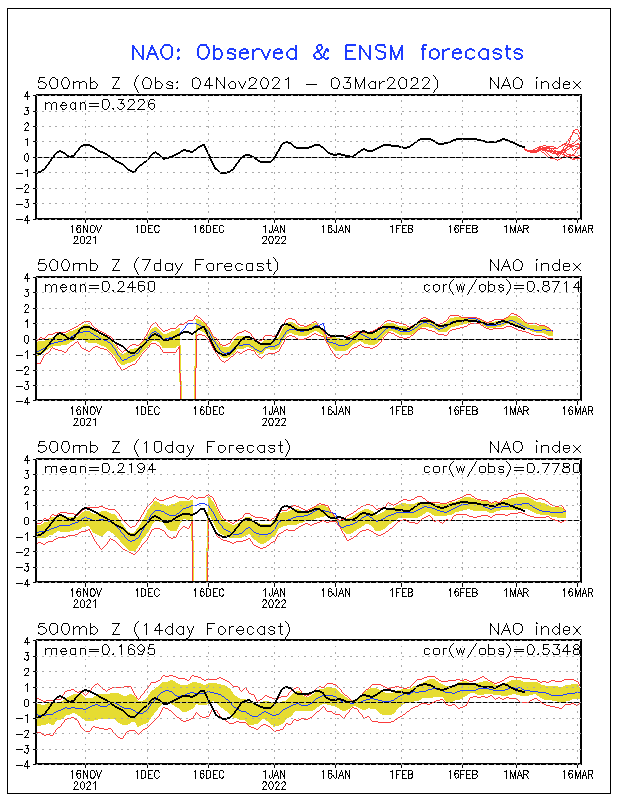
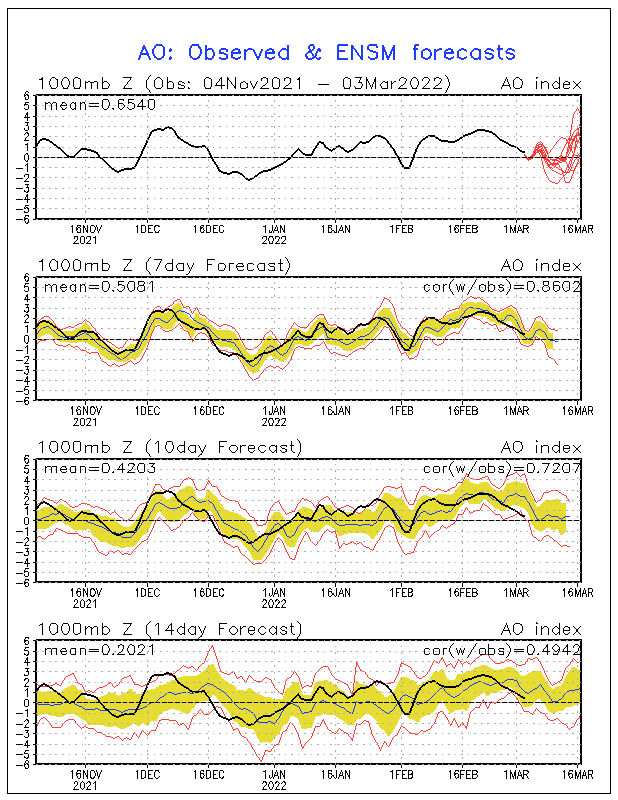
There are three slight chances at snow. They are the 5th, the 8th, and the 10th. The 8th looks the most intresting, with a more widspread snow possible. The 5th looks just like a scattered snow snower or snow flurry, which I doubt will happen, and the 10th looks like a tiny bit of snow on the tail end of a storm, which I'm also not buying because it shows this coming all the way down from the main system in the Midwest. I really can't point out any storm tracks anyway, since this is so far out. The GFS will probably be back to showing nothing again tomorrow morning. The GFS is pretty bad at long range forecasting, so don't go crazy over a storm that probably won't exist. The GFS seems to go back and forth on if we will get snow or not. That's why I don't trust it in the long range. We will have to wait several days before knowing more on storms. While it seems to be dry, arctic air, there will eventually be a storm. We already will have our cold air in place, so all we will need is a low. If this happens, which could possibly take place at the end of next week, we could be dealing with a nice snow event. I would also watch closley if the NAO and AO go negative, because that will enhance the chance for a big snowstorm.


No comments:
Post a Comment